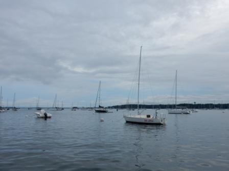
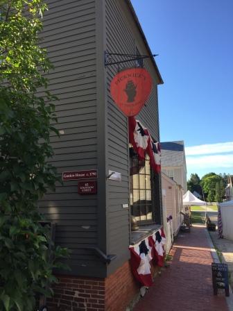
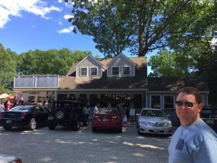
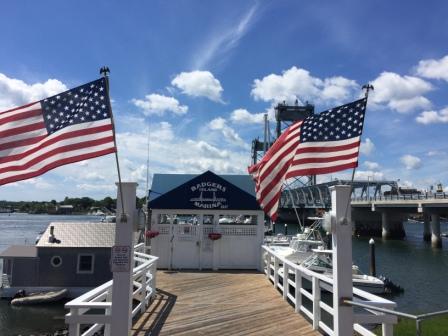
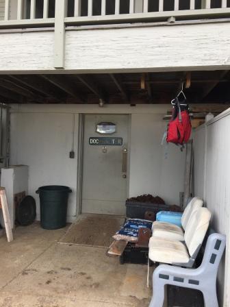
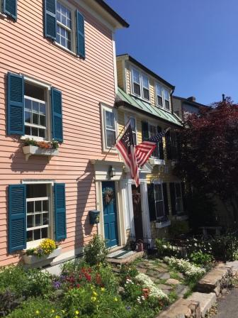
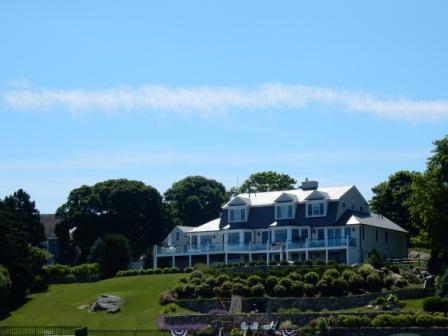
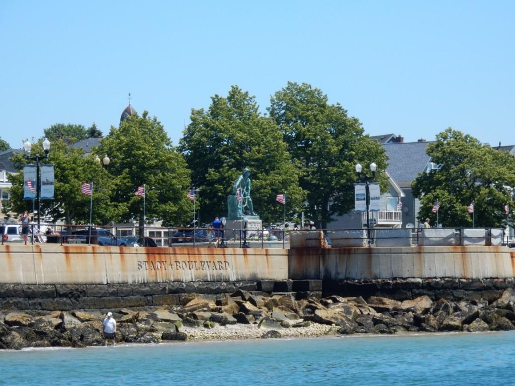
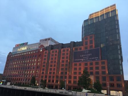
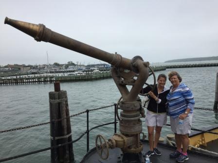
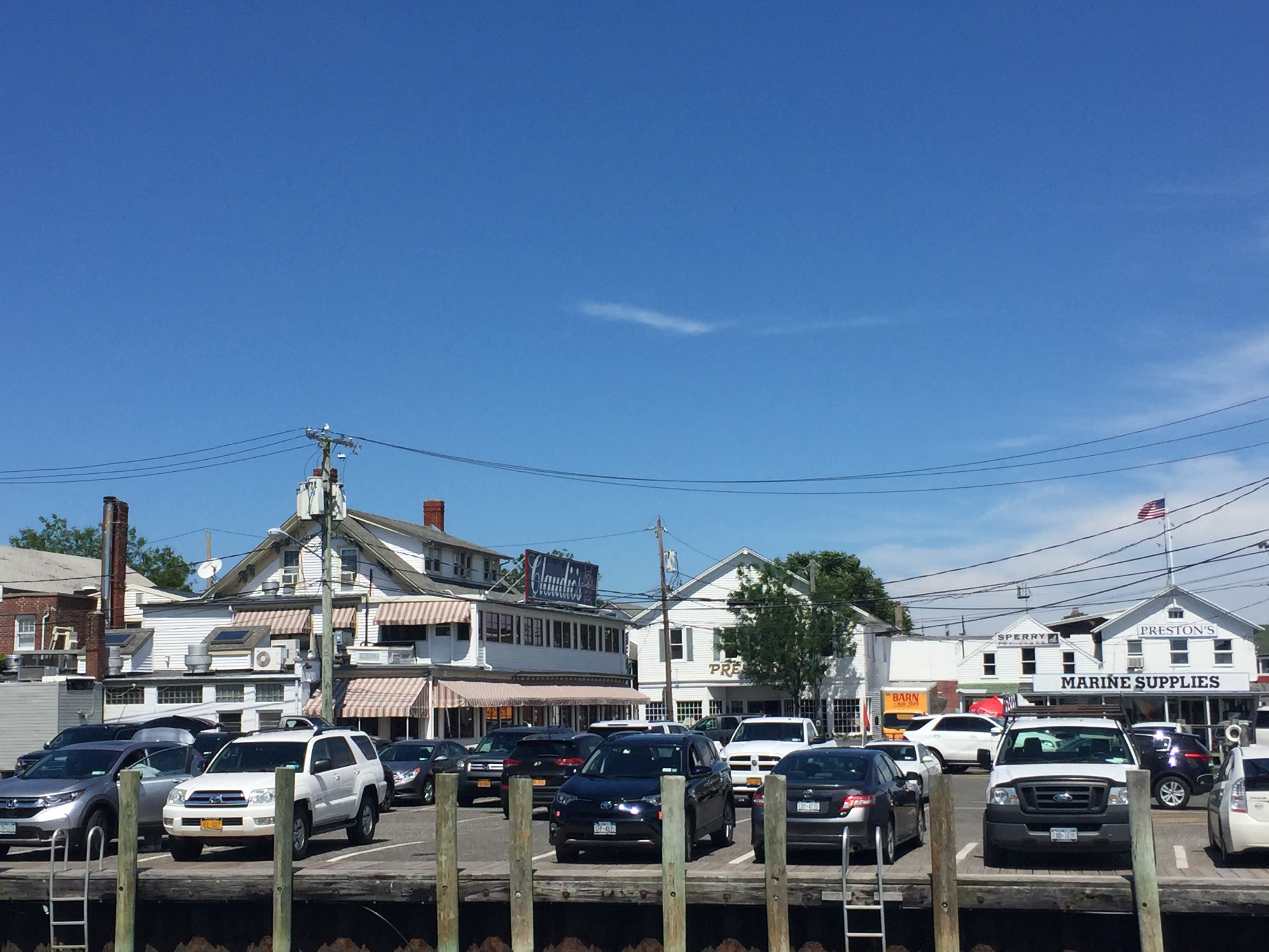
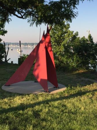
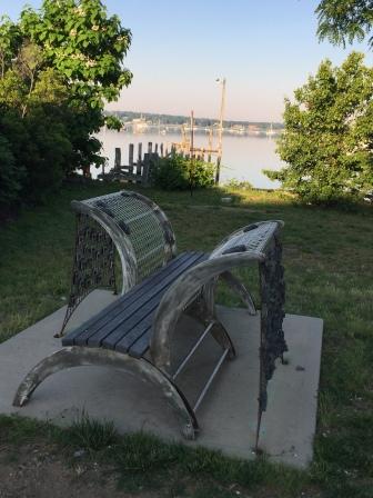
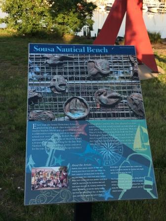
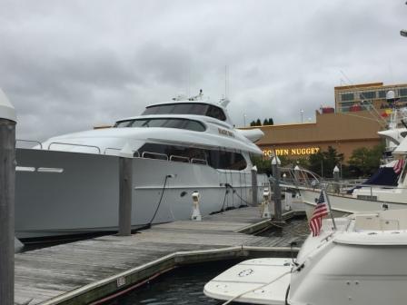
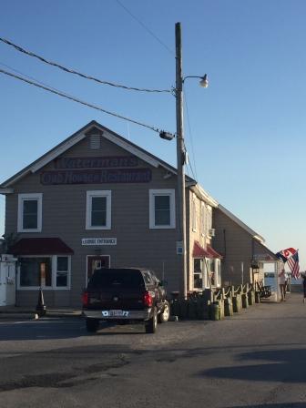
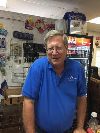
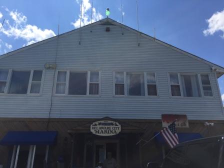
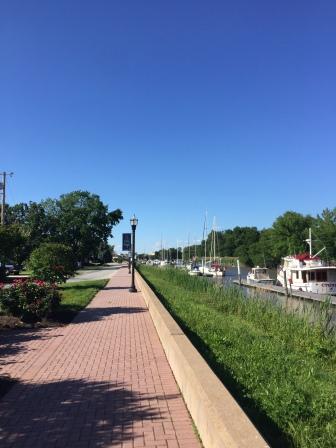
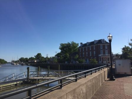
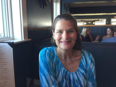
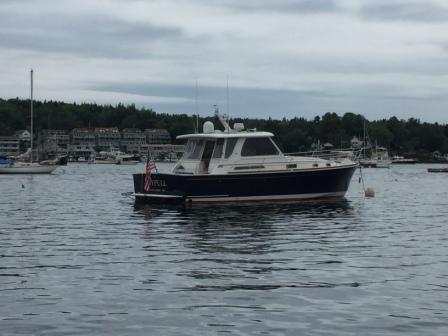
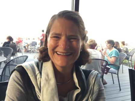
Dolphin Marina – Potts Harbor (Sunday, 7/9)
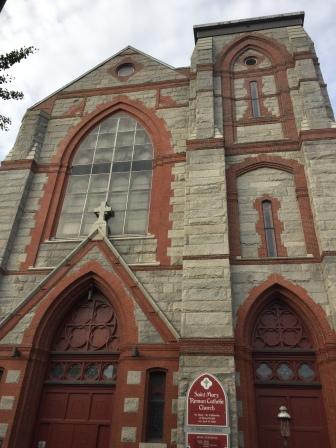
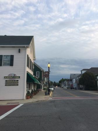
In the morning, Denise called for the launch at 8:00, and went for a run along a road that runs between Portland and Freeport, paralleling US 1. She made it as far south as the other Catholic Church in the area (St. Mary’s) where they had a WWI memorial across the street.

St. Mary’s
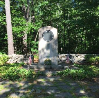
WWI Memorial
There she turned around and headed back north.

Run on Foreside Road (88)
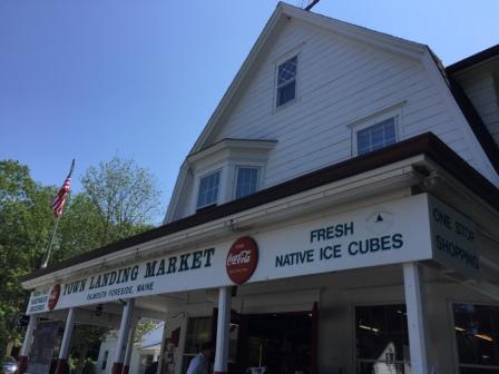
Near the end of the run at the Town Landing Market she encountered a running group from Portland who were marathoners doing their long run; an out-and-back distance totaling 16 miles. They talked briefly and then they continued back to Portland. It was hot and Denise was glad to be done her 4 miles, but was feeling a bit inadequate after meeting this group. She went inside the Town Landing Market and got a coffee and a newspaper and walked back to PYC and took the launch back to the boat.
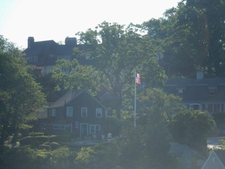
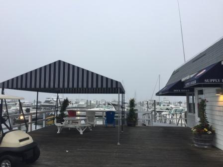
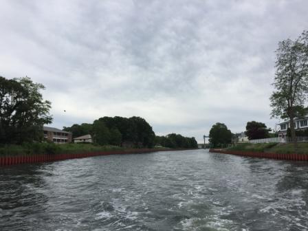
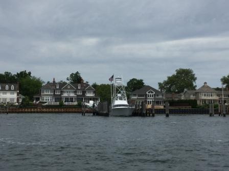
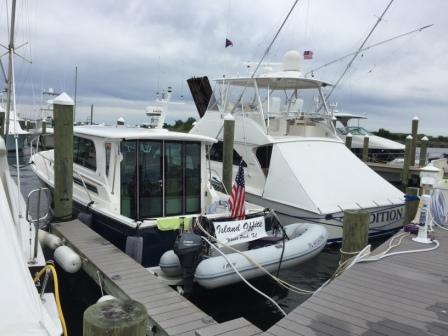
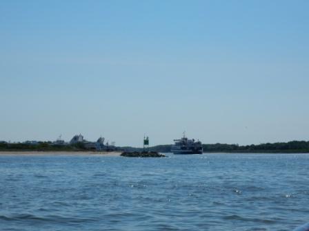
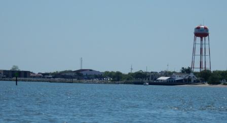
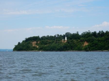
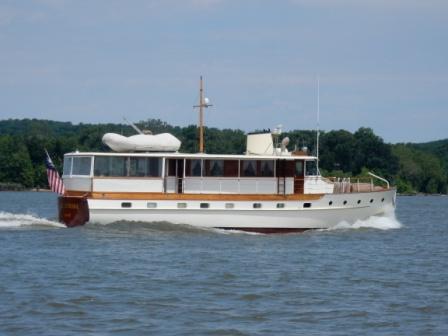
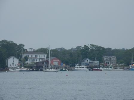
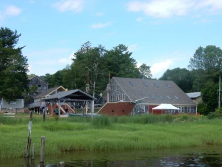
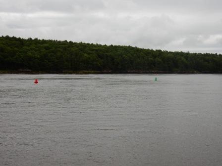
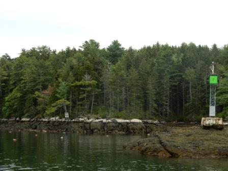
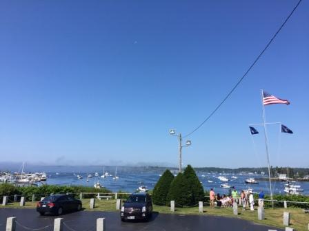
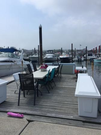
Shortly thereafter, we left and cruised to Dolphin Marina in Potts Harbor near the town of West Harpswell. We had made reservations for one night at the marina, and after being on a mooring ball for 2 days, it was nice to be able to walk off the boat onto a dock, as well as have shore power.

Leaving PYC

Approaching Dolphin Marina

Readying the deck
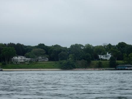
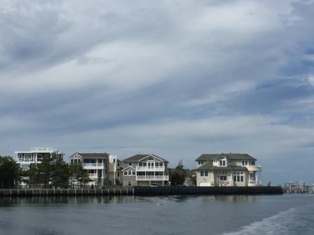
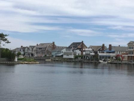
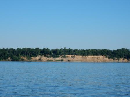
Homes on Potts Harbor
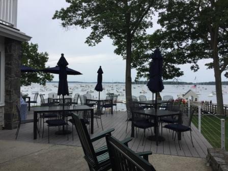
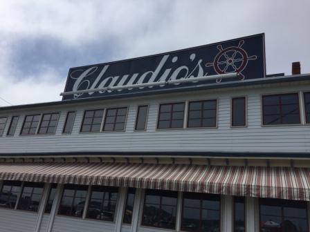
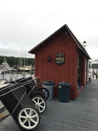
We were immediately assisted by very knowledgeable dockhands and they bent over backwards to address any and all concerns. After tying up the boat we checked in at the office and learned they have loaner bikes and that they would make reservations for us at the adjacent restaurant. As it was the busy season we made a quick decision to eat at the marina restaurant and they got us in for 6:30 with preferential seating.

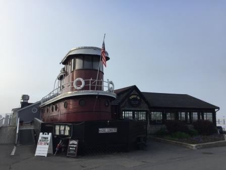
Dolphin Restaurant
We went back to the boat for lunch and to tidy up the place a bit, and then took advantage of the loaner bikes to go for a ride.
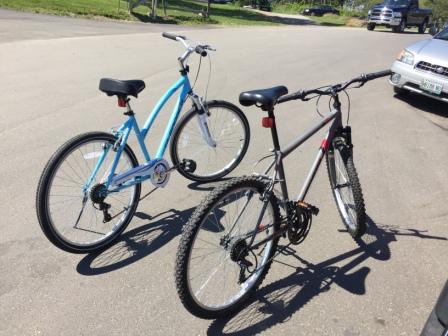
Marina Bikes
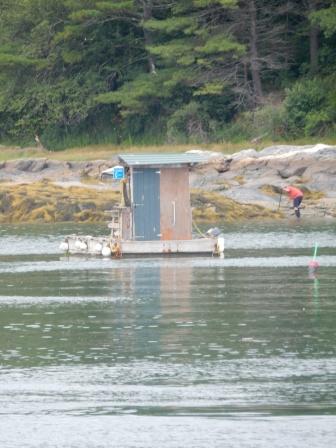
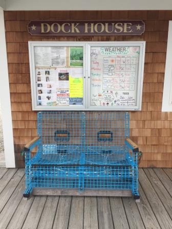
Initially we didn’t venture very far, just across the parking area to Erica’s Seafood and the adjacent lobster shack owned by her dad (Tom), who also runs the lobster boat that supplies her the fresh seafood. Here Mark started talking with the owner about buying fresh lobsters and we ended up getting an education about the difference between hard and soft shell (called “shedders”) lobsters. We learned we could buy fresh live ones for $5.99/lb, – a real deal. The only problem was that we did not have a pot big enough to cook them in on the boat and so we could not buy any from him. This now became our mission; find a pot to cook two lobsters and fit on the small burners on our boat cooktop.
Erica’s Lobster Shack & Shop

Lobster Shop at Erica’s
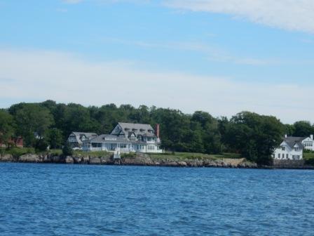
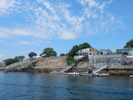
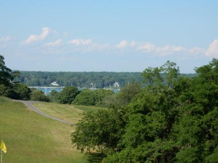
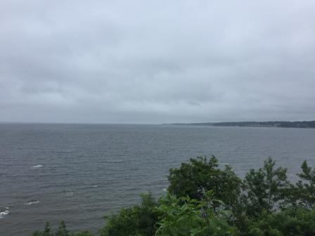
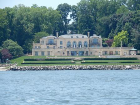
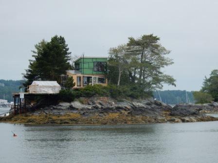
We continued on with our bike ride now outside of the marina property. The bikes are new and really pretty, but they only had a single speed. This became an issue when we encountered a huge hill, but we still made the best of it and had an enjoyable ride. On the eastern side of the road was Basin Cove and on the left side was Broad Sound, both of which were lined with mostly trees and some homes overlooking the respective waterways. Needless to say these all had spectacular views.

Mark at Basin Cove
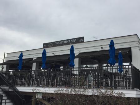
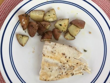
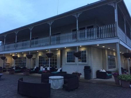
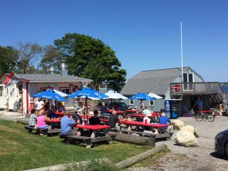
In the evening we went to dinner at the Dolphin restaurant which overlooks the marina and the adjacent Broad Sound. The place was packed and we were grateful for the preferential treatment as we didn’t have to wait in line, and we got seats that overlook Potts Harbor. The food was excellent (lobster lasagna) and the atmosphere was lively and fun.
Dinner at Dolphin Restaurant
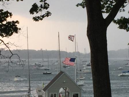
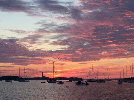
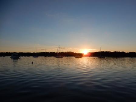
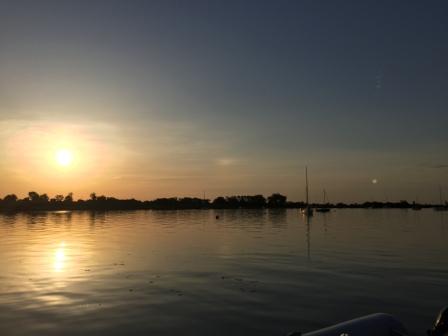
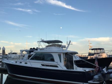
We went back to the boat and took in the spectacular views all around us. The water was calm and the setting sun and rising moon left us in awe of God’s great handiwork.
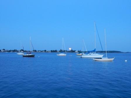
Moonrise over Potts Harbor
Snow Island (Monday, 7/10)
Since the sky turns bright about 30 minutes from sunrise, Denise was awake early and went for a walk around the marina complex. There were several people up and about walking their dogs, and she met the owner of one of three houses that lined the marina property. Come to find out he was Bill Saxon, the owner of the Dolphin Marina. His sister owns the house next door and the Dolphin Restaurant and her son is Tom (father of Erica – owner of the seafood shack). It is a family business that has spanned 2 generations and is doing very well.
Shortly after returning to the boat, the marina dockhand showed up with blueberry muffins and coffee; one of the perks they provide to their guests. We split a muffin (they are huge) and froze the second one, and Denise enjoyed the coffee.

Muffins & Coffee
Unfortunately, we were here for only one night and we decided to move on to our next venue. This is a 5-star marina and we really liked this place. We may just have to come back by here on our way home in the fall.
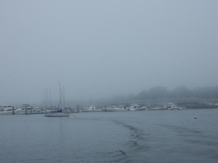
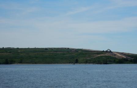
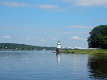
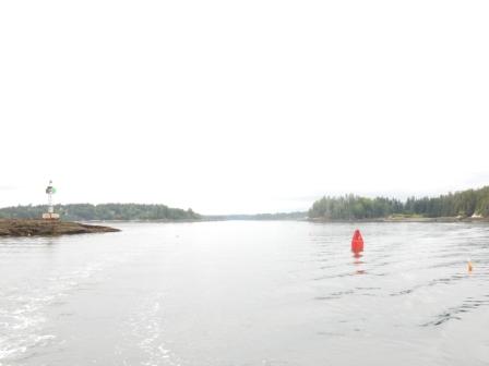
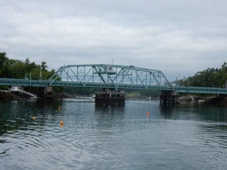
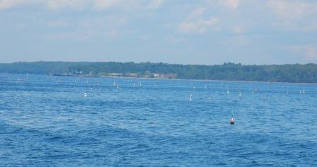
At 10:00 we left the Dolphin Marina and headed to Snow’s Island anchorage; a place that had been recommended to us and one that would shelter us from the wind that was predicted to blow hard in the evening. It was 13 miles from the Dolphin marina and up Quahog Bay, passing Bailey’s Island and the Crib Stone Bridge along the way.

Homes on Bailey Island
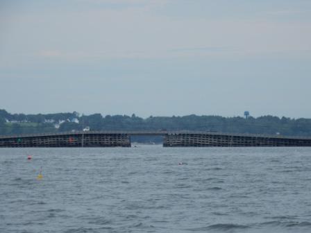
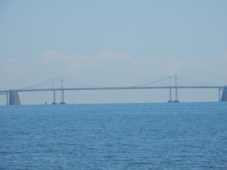
Crib Stone Bridge
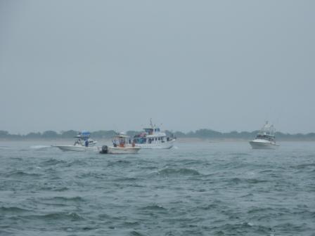
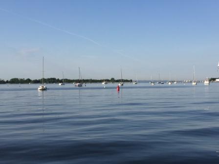
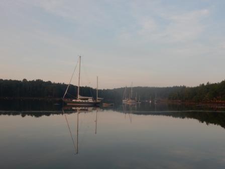
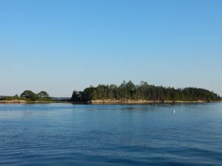
We had to navigate past a few rocks, many lobster pots, and a few lobster boats along the way. But we arrived safely and found an unoccupied mooring ball in the quiet cove near Snow’s Island.
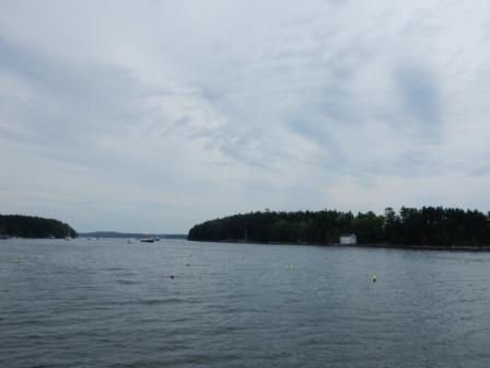
Quahog Bay

Snow Island
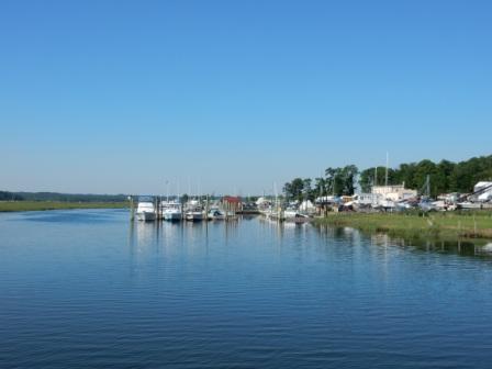
We ate some lunch and then decided go adventuring in the dinghy. We first had to get some gasoline as we were running low, but Mark had identified a marina that was not too far from the anchorage where we could buy some. Our dinghy can go really fast when we are in flat water, so we made it all the way up to the north end of Quahog Bay in no time. We were able to buy fuel at Great Island Boat Yard, a marina in Harpswell that was surrounded by lovely homes and lots of trees.

Great Island Boat Yard – Harpswell

Getting Fuel at Great Island Boat Yard
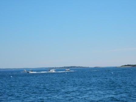
We looked around at all the boats and then got back in the dinghy to go back to our boat. However, once out in the middle of the bay we encountered south winds that were predicted for the day, and an outgoing tide that when combined resulted in 2’ waves. This made our ride back to the boat a little bumpy, but as soon as we got closer to Snow’s Island we were protected by the land and things were dramatically calmer. We had made a good call in finding this location for the night. We were well protected from the land to our south, and there were only a few other boats in the place.

Sunset at Snow Island
The Basin (Tuesday, 7/11)
We left Snow’s Island around 10:00, later than our usual departure time because we did not want to arrive are destination too early. We were timing the tides for easier entry into our next anchorage.
Our travels took us south out of Quahog Bay and around some rock-infested, but very well marked channels. We entered the New Meadows River and headed north, passing Cundy Harbor on the left. Cundy Harbor is a lobsterman’s village with no cruising services, but has a reputation of the best lobster and lobster rolls in all of Casco Bay. Too bad it was just a little too early for us to stop and find out how good they really are. Maybe on our return trip we can time it better.
Cundy Harbor
Shortly after passing Cundy Harbor we turned right into a very narrow (150 ft wide) channel called The Basin Inlet. The entrance is not really visible until you are almost past it. The guide book tells you to look for a house with “a pointed chimney just to the north of the entrance”.

Pointed Chimney house at entrance to The Basin
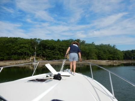
We were able to make our way through the very narrow channel entrance, then turning north past the rock ledge that jets out , and motored all the way to the north end of the anchorage where set our anchor without issue. It was not quite lunch time, but we had arrived at The Basin – a very pristine area surrounded by trees and a few houses here and there. The water was clear and cold and there was lots of birds all around.

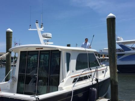
IO at The Basin
Almost immediately a whole flotilla of mostly sailboats started to arrive one by one and began anchoring in the large pool east of us. Come to find out they were from Eastern Yacht Club in Marblehead and they were having rendezvous with our anchorage as their destination. Over the course of several hours the large flotilla arrived and formed a large circle about 200 yards from us. It was fun to watch them orchestrate the boats so they could do this, and even squeezing in some who arrived much later than most.

Eastern Yacht Club Raft-up
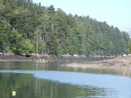
Although we talked of launching the dinghy and going for a ride, there was not much to go explore with the yacht club flotilla in the basin. Fortunately, they kept to themselves and kept their partying noise to a tolerable level. We just sat back on the boat relaxing and reading, until about 4:00 when the fog came rolling in.

Evening Fog
For dinner we grilled hamburgers on the bar-b-que and waited for the infamous sunset cannon blast by the yacht club. By now we have gotten used to this nightly ritual, but it still startles Denise every time!
Bath (Wednesday, 7/12)
When Denise woke up in the morning there was no evidence whatsoever of the previous night’s fog. The air was cool (cold in fact) and the anchorage was pristine. There was not a ripple on the water and the sunrise was spectacular.
Morning at The Basin
We left The Basin at 8:45 and headed back through the narrow channel and back out into the New Meadows River, passing Cundy Harbor once again. Further south we passed Sebasco Estates on our left, an old-school resort (i.e. the movie Dirty Dancing) that was recommended to us, but didn’t fit into our schedule for the week. Perhaps on our way back we will put it on the itinerary.
Pulling up the anchor
Lobstering in the narrow channel when we were trying to leave The Basin
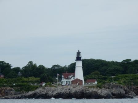
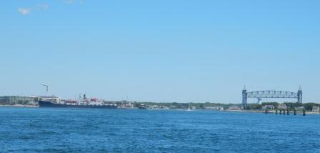
Our journey continued south down the New Meadows River and out into the Gulf of Maine. We rounded Cape Small and passed between it and Sequin Island to our north (another cool looking place to see but not suggested for overnight in windy weather). We turned into the Kennebec River Inlet, passing the remnants of Fort Popham on our left and headed north.

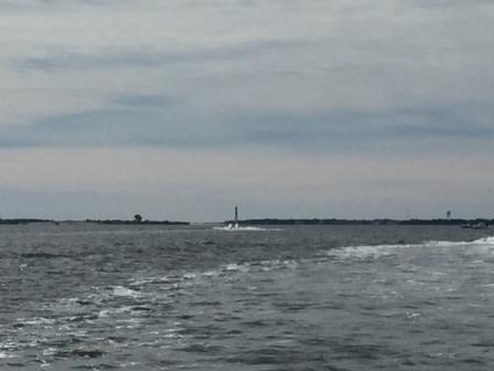
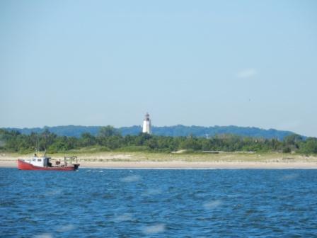
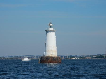
Light on Pond Island – Entrance to the Kennebec River

Fort Popham State Historic Site
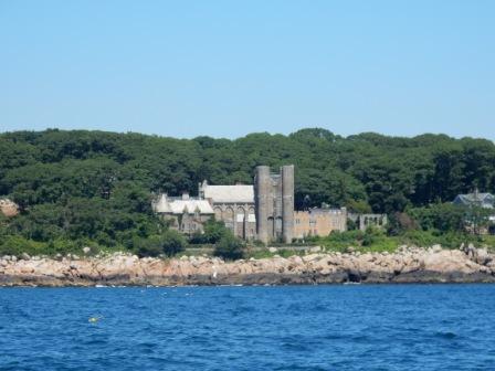
The River has a few turns and curves, but is mostly a straight shot along tree lined shores with some rocks, cliffs, and a few houses scattered along the way. There are also several aids to navigation (ATONs), including a lighthouse, a fog “gong” and a range finder – all very useful for the large boats that travel this river. Because of its current, there are few anchorages and no marinas until the town of Bath, our destination for the evening.

Light near Phippsburg on Kennebec River
Doubling Point Light
We had reservations for a mooring ball at the Maine Maritime Museum, located just south of the town. However, when we arrived there were no open moorings. We contacted the Museum and had to wait while the “new person” got instructions from her supervisor; all the while waiting in the middle of the river as the swift current wanted to take us north. Eventually, they figured out a mistake had been made and offered to let us stay on the dock behind the “Merrymeeting” tour boat for the same reduced price as a mooring, but we had to be off the dock by 9:00 am the next morning. We accepted their apology and tied up to the floating dock, thinking their mistake was our good fortune.

Approaching Maine Maritime Museum
IO in front of sculpture representing the “Wyoming”
After we secured the boat we checked in at the Maritime Museum office and found we would be in time to take the combined trolley tour of Bath Iron Works and the boat tour on the Merrymeeting. So we went back to the boat, got a quick lunch, and then made our way to the pick up the tour.
Selfie at Trolley Tour – Movie on BIW
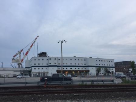
Bath Iron Works (owned by General Dynamics) is a very large ship building facility that produces military boats for the US Navy. The tour was not able to take us inside the manufacturing facilities, but we ran alongside (on the public road) and you can see into the large hanger bays where they do much of the assembly work. Currently in production (and we got to see) was the USS Monsoor; a Zumwalt-class (one of only 3) guided-missile destroyers that was named after a Navy Seal who died in Iraq in 2006. It was very cool to see this and several other destroyers under construction in the facility. The tour then continued through the town of Bath and the history of boat-building in this area.

Signage at MMM

Bath Iron Works – Hanger
We then returned to the museum and boarded the Merrymeeting tour boat. The boat took us south on the Kennebec river to Doubling Point Range Marker (ATON) that we had passed on the way into town and didn’t know what it was. There is much history here – far too much to put in this blog, but very interesting.

Docks of BIW
Free docks – Downtown Bath
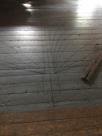
Once back from the tour, we went into the museum and walked through the exhibits in the main building and in a few of the outer buildings, including where they would lay up the wooden ribs for the wooden ships using patterns drawn on the floor.

Maritime Museum

Maritime Museum
Maritime Museum
Across the campus from the museum is a restoration center where they had just begun work on the Mary E, believed to be the oldest Bath-built wooden schooner still afloat. It had come “home” for its restoration and a separate pavilion had been built just for it. There is also building dedicated to the history of lobstering, and a lobster car (we have seen one similar in the Orlando area). Near there is a playground for children that is very unique with its boat-themed fort and an oversized wooden lobster trap.
Maritime Musem campus

Lobstah cahhh
Probably the coolest thing on the grounds is the sculpture representing the “Wyoming” – a life-size representation of the bones of a schooner. The flag poles represent the masts and the other structures are its bow and stern. It gives you a great appreciation for how huge these big boats really were.

Skeletal sculpture of “Wyoming”
You can learn more about Bath Iron Works here and about the Maine Maritime Museum here.
The museum is about 1 mile south of the town of Bath and there is really nothing near it (except the Bath Iron Works). So we were debating about what to for dinner and talking with the captain of the Merrymeeting (since he was right in front of us). He gave us dining suggestions and offered to give us a ride into town, which we took him up on. His suggestion of “Salt Pine Social” was excellent and we had a very nice meal.
Salt Pine Social restaurant
We then walked back to the boat passing the public dock and waterfront park where there was a concert going on; a local high school band playing patriotic tunes. Small town America is so cool! After the park we walked the street along Bath Iron Works and a huge dog park along the way. We passed the IGA Market and debated about stopping but decided there was nothing we really needed to buy.

Downtown Bath
City of Bath free dock
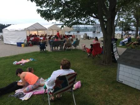
HS Band concert in park
Bath Iron Works building
When we returned to campus we checked out the laundry and restroom facilities and found a few beavers hanging around the place. We were able to sneak up on them and catch a few pictures before they scurried back into hiding.
Maritime Museum facilities
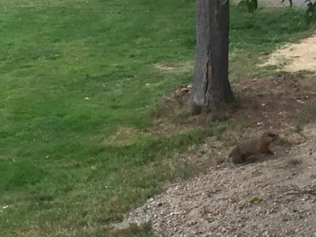
Beavers at Maritime Museum
Earlier in the day Denise had discovered that the dock we were tied to had a 50-amp power plug on the upper portion, so when we got back from dinner we connected the boat to it and had shore power for the evening. This was very welcome as it was very buggy near the shore and we had to keep the doors and windows closed as soon as it was dark.
It had been a very fun day and the people we met in Bath were so great and friendly. We were very glad we made the trip up the Kennebec River and came here.
Here are some other pictures from the museum:

Merrymeeting Tour boat

Moorings and dock at Maritime Museum

Kids playground

Maritime Museum buildings
Robinhood (Thursday, 7/13 & Friday 7/14)
In the morning we wanted to make sure got off the dock by 9:00 am as promised. As we were eating breakfast Mark noticed a fuel truck had pulled up for the Merrymeeting, and the captain was on the boat. He immediately went to talk with the driver of the fuel truck and was able to secure some fuel for us at an excellent price ($1.98/gal). Needless to say we filled the tank!
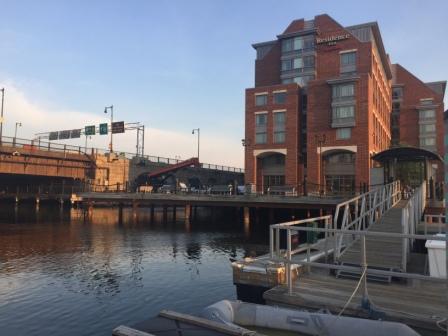
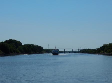
Right on time we pulled away from the dock and were on our way. Only this time we were not going out into the Gulf of Maine (Atlantic Ocean), but rather taking an inside route via the Sasanoa River to a marina called Derektor Robinhood (aka Robinhood) in Riggs Cove. Although it wasn’t far (7 miles) we had to go through some very harrowing areas (known as “Upper Hell’s Gate”) and lots of rocks and narrow channels.
Upper Hell Gate – off Arrowsic Island

Approaching Robinhood marina
Of course Captain Mark got us there successfully, and we pulled into a slip dodging the lobster pot right in front of us in the fairway. We had been watching the weather which was supposed to be bad the next day and decided that this would be a good place to stay if we had to. So we made plans for a two-night stay but agreed to advise the marina of our intention in the morning.
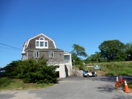
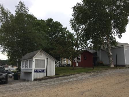
This is a cool marina village with a very long history and pays tribute to its roots accordingly. Throughout the complex there are historical markers and description of their meanings. There is a quiet cruisers library, a community room (for louder conversation), a boatyard, as well as restroom and laundry facilities. There is also a restaurant (Osprey Restaurant and Tavern) on site and a marine hardware production facility (Spartan Hardware) that is housed in the former General Store building built in 1820 (restored in 2003).
Dockmasters office
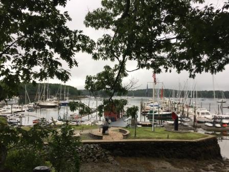
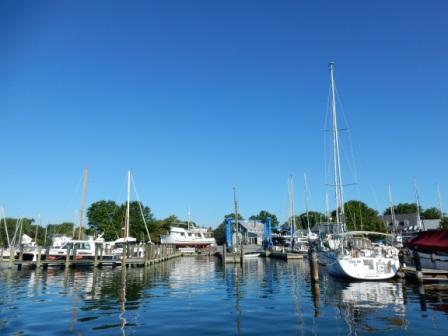
Robinhood marina
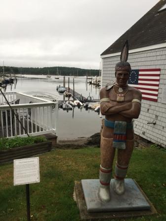
Statue and info on Chief M

Info on Chief M

Betsy Ross Flag
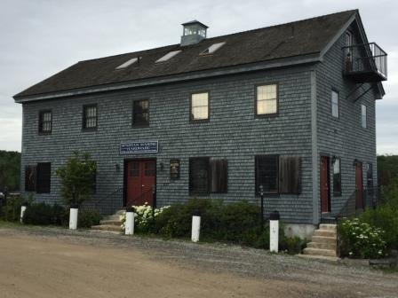
Spartan Marine Hardware at Robinhood
But one of the best things this marina offers is a loaner car – this is a liberating perk when you don’t have wheels. In the afternoon we borrowed the loaner car to drive the 15 minutes back into Bath and go to the IGA Market; we realized we could use some fresh milk and a few other items. This actually worked out great as we really had not had a lot of time to explore the town of Bath when we were there and this gave us the opportunity to do so.
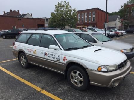
marina loaner car

Road to Bath in Loaner car
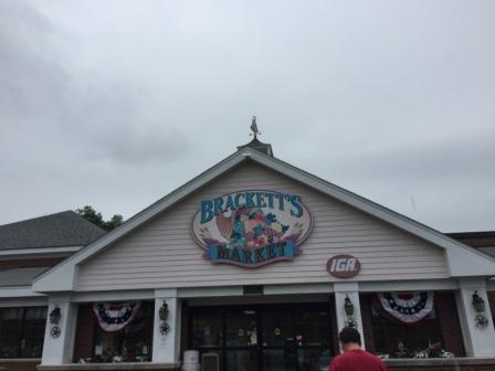
Brackett’s Market – IGA in Bath
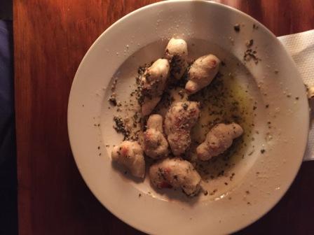
We first when to the high-end cooking store; continuing our quest to buy a lobster pot so we could steam some lobsters right on our boat. However, we decided their prices were too high for our simple request, and so we continued on. We also checked out the thrift store in town for a used one, but discovered it was mostly clothing items and a few children’s things. We drove back to the marina in time for dinner at the Osprey Restaurant and Tavern. The food was good and very reasonably priced so we were happy to patronize this local establishment.
The next day the weather was rainy and mostly overcast skies, as predicted. We were happy to stay put a second day. We hung out around the boat and the marina working on the blog, cataloging pictures and talking to a few of the local boaters.
Thinking it would be a good night for pizza, we sought out the advice of the dockhands for the best place to order delivery. Their suggestion was to use the loaner car and go back into Bath. “The Cabin” is known for their pizza and garlic rolls (aka “knots”) – which was all Mark needed to hear. So, we did just that – making the trek along the two-lane road and over the Sasanoa River Bridge and back into Bath. There we ordered a pizza and rolls that were really good (but still not as good as Antonella’s back in Winter Park). We returned to the marina full and with a big box of leftovers, and made plans for leaving in the morning.
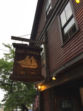
The Cabin in Bath, ME
Garlic Knots at The Cabin
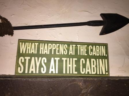
Sign at The Cabin in Bath, ME
Here are some other pictures from the marina:

Cruiser’s lounge and library at Robinhood
Facilities at Robinhood

Picnic area at Robinhood
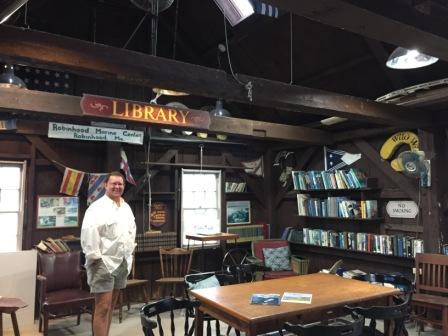
Library at Robinhood
Boothbay Harbor (Saturday, 7/15)
We Left Robinhood shortly after 10:00 so Mark could have a conference call with a client. It was cool (60°) and overcast skies, but it was not raining or foggy. We crossed the Sheepscot River and entered into Ebenecook Harbor, dodging lobster pots and rocks all along the way.
From here we rounded Cameron Pt and the very tight entrance into the Southport Cove area. It was here we saw several kayakers and one person in a canoe that found it warm enough to be shirtless. Only in Maine do they think of temperatures in the low 60’s as “summer”.
Cameron Point – Narrow entrance

First no-wake Zone sign since New York
Through narrow entrance – Cameron Point – Southport Island

No shirt canoer
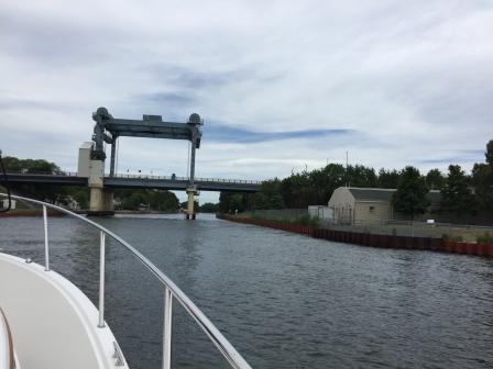
We were concerned about going through the Southport Island Bridge as they have restricted openings. However, we managed to go through at near low tide and therefore we did not require us to have it opened as we barely made it through the 15’ clearance.
Southport Island Bridge
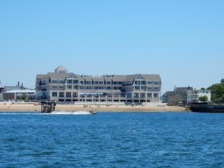
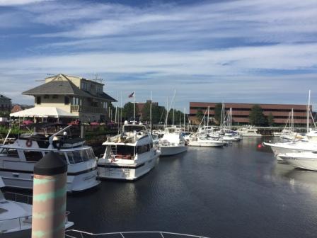
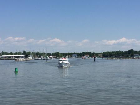
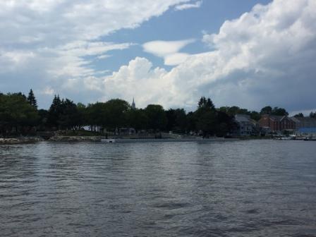
From there we continued through Townsend Gut, an area known for swift currents during tide changes, but we made it through without incident. Not long afterward we turned north and headed into Boothbay Harbor. It is a busy harbor with tour boats and ferries, as well as lots of big and small pleasure boats. We motored around the harbor, eventually pulling into Tugboat Inn and Marina where we had a two-night reservation in a slip.
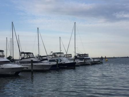
Boothbay Harbor

IO at Tugboat marina
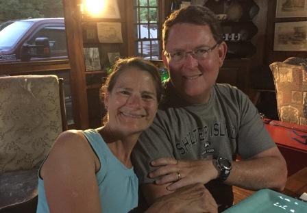
After securing our boat and we were immediately greeted by a man who introduced himself. “Howie” on “Joyful” was from Situate, MA is a friend of John C’s (in Staten Island). He approached us and wanted to know why we didn’t stop as John C had told him to expect us. His boat (a Sabre 42) was on a mooring ball closest to the docks and he recognized our boat name as we were docking. Of course we were impressed and explained to him how Mark’s work schedule had affected our plans, requiring us to go into Boston directly. Shortly thereafter we met his wife, Joy and we talked for a while as they shared recommendations of “must see” places to visit while in Maine. They had to leave as they had company coming, but we agreed to keep in contact and to look them up if we get to Situate on our way home. What a small world this cruising community really is.
“Joyful” on mooring in Boothbay Harbor

Howie & Joy (“Joyful”)
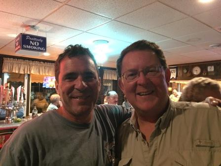
In the evening we met up with our business associate/friend Richard Deeran. He is the owner of a software company in Portland that we have referred to our clients, and he owns the sailboat “Acadia” that Mark has helped deliver to/from the Bahamas and the Virgin Islands. Richard and his girlfriend Janice came aboard for drinks, then we went to dinner at “Ports of Italy”, an Italian restaurant a short walk from our marina.
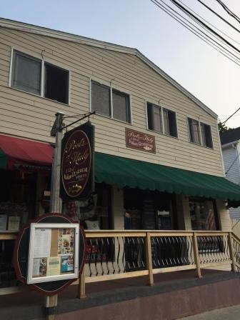
Ports of Italy Italian restaurant
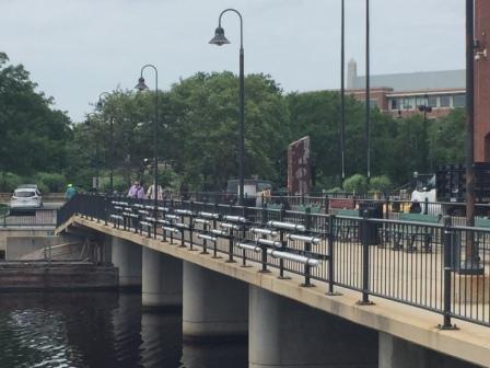
The restaurant was very crowded and we had no reservations, so we had to wait 45 minutes for a table. We put in our name and during the wait we walked around the downtown area before dinner. Richard took us to the other side of the harbor via a footbridge shortcut and then we returned to the restaurant in time to get seated.

Downtown Boothbay

Footbridge to other side of harbor
The food was great, but it was past 8 pm by the time we got our food, which is very late for us to eat. It was well past 9:30 when we finally finished, so we walked back to the marina and said goodbye to Richard and Janice.
Boothbay Harbor and The Goslings (Sunday 7/16):
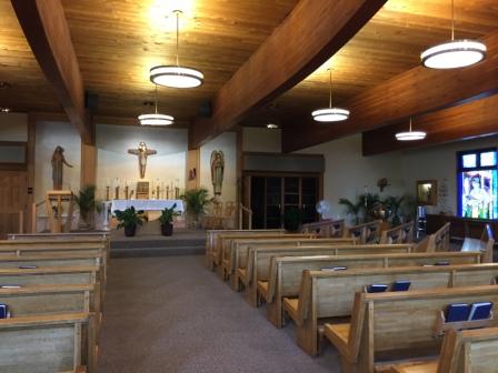
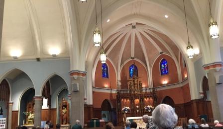
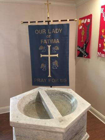
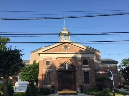
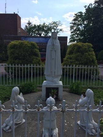
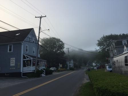
It was a foggy morning when Denise got up early to go for a run along the roads that form the perimeter of Boothbay Harbor. She ran through downtown, and then turned onto Atlantic Avenue on the eastern side, which runs past some antique and art galleries, as well as a few B&Bs and hotels. She also went past Our Lady Queen of Peace Catholic Church and the Fisherman’s Memorial which is across the street and overlooks the harbor.

Commercial dock
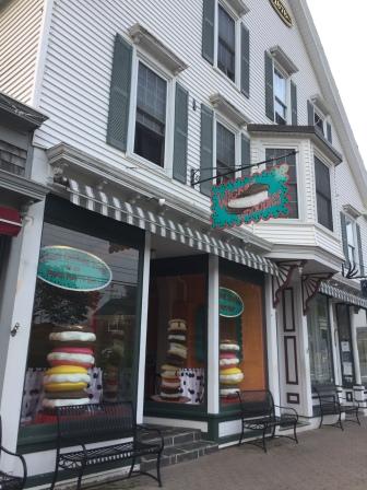
Whoopie Pie Store
Street along east side of harbor
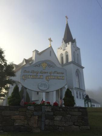
Our Lady Queen of Peace Church
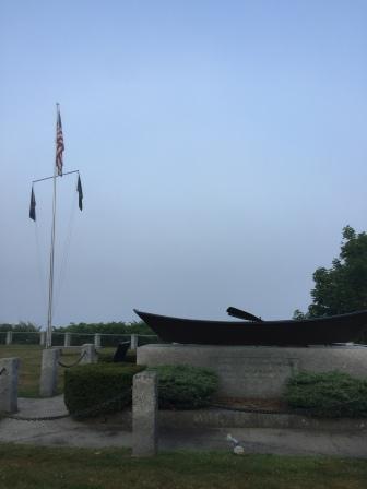
Fisherman Memorial
She continued south until she came to Lobster Cove Road and turned up it to find a small but challenging hill. She managed to get to the top without stopping, and there she encountered a deer that had stopped at the edge of the driveway of a house. It was so perfectly still that at first she thought it was a statue. Quickly she took the picture, but before she could get a second one, it took off. What a thrill!
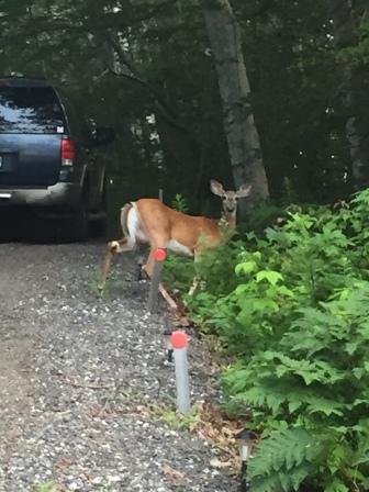
Startled deer
She continued on with the run, passing Barrett Park on her right that overlooks a cove where several boats were at anchor.

Barrett’s Park

Barrett’s Park
From there she took a left turn on Park Street to form a loop back to town, encountering the mother of all hills. This one was a bit too steep, so she stopped and walked the last 50 feet to get over it. But at the bottom of the hill she realized that her run would be too short if she headed back to the boat, so she took another left turn through a neighborhood and headed back south on Atlantic Avenue past the church, only this time passing Lobster Cove Road. She continued south until she got the desired mileage and then turned around, taking the perimeter roads back around the harbor until she reached the Tugboat Marina.
Here are some other pictures from her run around Boothbay Harbor:
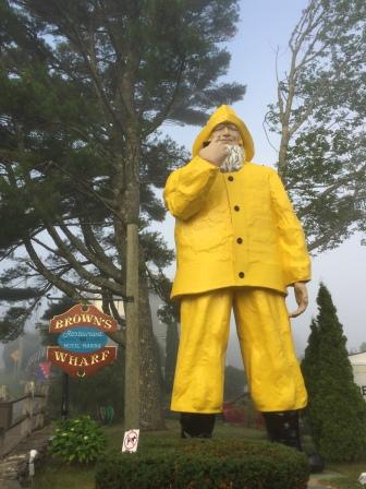
Fisherman’s Statue at Browns Wharf Hotel & Restaurant
Streetside entrance to Tubboat Hotel, Marina and restaurant

The Admirals Quarters Inn

The Admirals Quarters Inn
Once back on the boat, there was time for a quick breakfast and showers, then we walked back to the eastern shore for 9:00 mass at Our Lady Queen of Peace, this time taking the footbridge shortcut and not the perimeter roads around the harbor. On Saturday the church had held a rummage sale to benefit the school. However, they still had quite a bit of merchandise left over and announced all things were half priced. Still on our quest to find a pot that could hold 2 lobsters and fit on our small boat burner, we figured we should check out the sale. While they had no true “lobster pot”, we were able to pick up an old Revere-ware pot that would work and we were ecstatic that it was only $2.50. When we went to pay, the woman mentioned everything was half-priced so it was only going to be $1.25. There was no way we could do that and handed the women $2.50 – thanking her for the great bargain and feeling like we had accomplished a mission.
After church we walked back to the boat via the footbridge, and readied the boat to leave as the fog was lifting from the harbor.
Harbor from church steps
Harbor homes from footbridge

Bridgehouse located in middle of footbridge
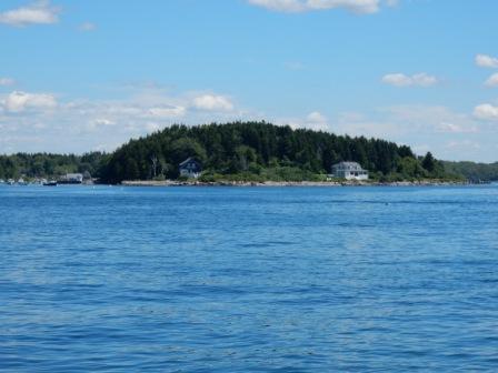
We hated to leave, but needed to get back to Casco Bay and begin making our way to Portland, via a few stops over the next few days. The first stop was the Gosling Islands, located just west of Harpswell, and about a 2 hour cruise to get there.
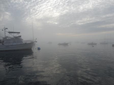
We left Boothbay under clear blue skies and headed out into the Gulf of Maine to fairly flat seas. However, it didn’t take long before we encountered patches of fog, even heavy at times. Fortunately, it didn’t last long and we were able to see clearly around the numerous lobster posts and navigate into the mooring field at the Goslings.
Leaving Boothbay Harbor

Cruising through fog
Lobster Pot mine field
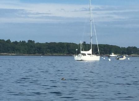
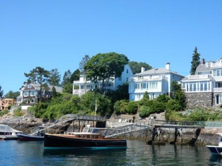
This is an area of three uninhabited small islands bordering on the south, and a big island to the west that is mostly privately owned residences. When we arrived, most all the moorings were full of Sunday-Funday boaters, who were using their dinghies or small boats to go ashore to the remote islands. They were rowdy and having a good time, but we just wanted to read and relax.
Gosling Islands

Party boats at Gosling Islands

Picnic on the Goslings
In the late afternoon many of the weekend boaters left the mooring field and we changed moorings to be closer to the land protection. Eventually, the entire area settled down and it became very calm and peaceful. We cooked up some hamburgers on the grill and enjoyed the quiet and pristine nature of the mooring field. This was also the night where the Northern Lights (Aurora Borealis) was supposed to be visible as far south as Pennsylvania, but it was not going to occur until almost 2:00 am. Although Mark got up at that time, he was unable to see anything – due in part to the light pollution coming from nearby Portland. However, we were not disappointed with the area and we were really glad we spent the night in this very beautiful spot.

IO at Gosling Island Moorings
Freeport (Monday 7/17)
Despite a beautiful sunrise, we left the Goslings when it was overcast and rain was forecasted for the day.

Sunrise at The Goslings
As soon as we knew our slip was available at Brewers marina, we cruised the 6 miles north to South Freeport. We were assigned an inside slip that was well protected but a little tight to get into. However, Mark did a great job docking and with the help of dockhands had Island Office tied up in no time.
Here are some pictures from our route to South Freeport:
House on Pound of Tea Island
Phone booth at Harraseeket River Entrance

Harraseeket River

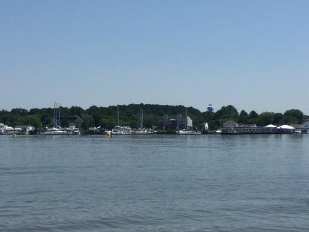
Approaching Brewers Marina
We had been in communication with our Gold Looper friends Jann and Bill Mellman, who were in the area now enjoying travels in their RV. They were headed north and on to Bar Harbor, but were willing to spend some time with us. Plus, they had a car and wanted to go to LL Bean, and so did we. So they came down to the marina and picked us up, and then the four of us went into the town of Freeport – home of LL Bean. It is amazing how this place has grown from a simple store that stayed open 24 hours a day/7 days a week – 365 days a year….to the shopping mecca it now has become. LL Bean alone has 4 large stores (Flagship, Outlet, Outdoor, and Home store), and is surrounded by every other retailer you can think of. There is also now a restaurant owned by Linda Bean and that is where the four of us went for lunch. The food and service was pretty good, but the prices were (naturally) a bit on the touristy side. We still enjoyed it, and especially our company.

Lunch spot with Mellmans

Lobstah Rolls at LInda Bean’s Maine Kitchen
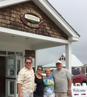
With Jann and Bill Mellman
After eating and shopping we headed back to the marina and said goodbye to our friends. Before going back to the boat, we checked into the dockmaster’s office to inquire about a few things. One of them was a tower we could see on land when we were coming up the River. He informed us that it was originally a tower and amusement park with a hotel, but these burned and all that remains is the tower which is currently on private land. We also learned that this marina is the original Brewer’s Marina that started the chain, but that they are no longer affiliated with this now large marina management company.
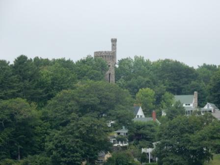
Tower at Casco Park
In the afternoon Mark did some work and Denise walked to the Post Office (1/2 mile up the road) to mail a card, and then did some cataloging of pictures. Here in the PO she found they had a sketch of the Casco Tower.

Tower at Casco Park – picture in PO

PO in South Freeport
It had been hot most of the day, so naturally as afternoon turned into evening it got a little foggy. We were debating what to do for dinner as there was only one restaurant near the marina with average reviews on YELP, and all others would require a cab ride back into Freeport. Also, we really didn’t have much food left on the boat as we were trying to empty as much of the fridge for when we would be gone.
We eventually decided to try the place nearby as we were pretty sure we had eaten there before with Aunt Judy when we were here in 2013. We later confirmed that it was in fact the same place. Funny how life hands you these little coincidences. So we placed a “to-go” order and walked from the marina across the gravel parking lot to pick up our lobster rolls and fried clams, and returned to the boat to eat them. It was delicious and we enjoyed every bite, all the while watching the fog get heavier and heavier. By the time the sun was completely down and darkness was all around us, you could barely see beyond the marina.

Harraseeket Restaurant
PIcking up our to-go order
Too foggy to see the harbor
Here are some other pictures from around the marina:
Lobstah Rocker at dockmasters

Brewers South Freeport Marina

Dockmasters office – Brewers

Deck overlooking marina
Facilities and lounge at Brewers
Cruisers Lounge

Cruisers lounge
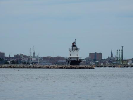
Spring Point Marina – South Portland (7/18)
There was some fog when we woke and we were concerned with being able to get to Portland before it became really thick again like last night. So around 9:00 am when we saw it thinning out a bit, we decided to leave for South Portland where we had reservations to leave the boat for a week while we went home for the family reunion. It was a day earlier than planned, but we called the marina and they confirmed it was ok to arrive early.
The journey was less than 15 miles, but we had to navigate around some small islands, which can be nerve racking in the fog.

Fog on our nose
Fortunately, as we got closer to Great Chebeague Island the fog seemed to lift for us and we were able to get through the area without a problem. Of course once back into the bay there was more fog, but it was still pretty light and we were able to get into the marina without incident. We arrived in time to grab some lunch and watch a Coast Guard helicopter conduct exercises in the bay near the marina.

Approaching Spring Point Marina

CG exercises in Portland Harbor
In the afternoon it started to rain as a fast-moving front came through. Of course this is when the Portland Mattress company showed up to deliver our new boat mattress. We had ordered it nearly 6 weeks ago and arranged for them to deliver it when we knew we would be in Portland. Earlier in the day we had called and had advised we would be arriving earlier than originally thought, and they were able to put us on the delivery schedule for later in the day. Obviously all this was done before we knew it was going to rain. And of course the brilliant-minded delivery guys didn’t think they needed to sit in the truck to wait for the rain to pass and proceeded to deliver our new mattress when the drizzle turned to pouring rain. As luck would have it, the new mattress was covered in plastic, but they had to remove the old mattress and it was not. It is a good thing we had no intention on keeping it as it was useless once they took it off the boat. We offered to let them stay until the rain subsided, but they wanted to be on their way. Within 15 minutes of their leaving, the rain disappeared and the sun came out, warming things up for the rest of the afternoon.
But by late afternoon that warm air resulted in more fog, and this time it got really thick.

Afternoon fog just outside harbor
By 6:00 pm we could not see the condos and building housing the restaurant at the top of the marina pier. We walked the docks a bit and then hunkered down in the boat for the rest of the evening.

Heavy fog in marina at night
Spring Point Marina – South Portland (7/19)
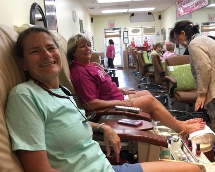
Today we spent the day doing boat maintenance and getting it (and us) ready for leaving for the reunion. First we used the marina’s loaner car to do a few errands. Denise was able to get a pedicure and Mark was able to go to an auto-parts store to get new hydraulic lifts for our bed. Yes, the domino effect – our new mattress is heavier than the old one and lifting the bed to access the storage under it now was a lot harder to do. Mark knew that the hydraulic lifts were standard auto part-type and we could buy ones with heavier lifting capability that would fit in the existing brackets.
In the afternoon, we took advantage of the numerous washers and dryers at the marina and did many loads of laundry including sheets, towels, rags, and clothes. We also defrosted our refrigerator and cleaned it completely, discarding a few items that had become science experiments, and polishing it up to look nice. We also installed the new hydraulic lifts under the bed (a 15 minute project) and kept the old ones for potential spare parts.
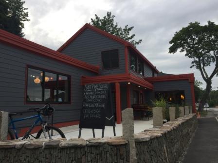
In the evening we ate dinner at the new restaurant that had opened in the marina complex (Latitude 42 Degrees). The food was good however, the menu is very limited and we didn’t linger as we had packing to do. Earlier in the day the fog had rolled in thicker than we had seen, and by the time we left the restaurant it was so thick you could not see more than one or two finger piers away from our boat.

Latitude 42 Degrees restaurant
Dinner at 42 degrees Cafe
Dinner at 42 degrees Cafe

So foggy can’t see condos
Although located in South Portland and not close to the downtown waterfront, this marina has a lot to offer cruisers. Despite rocking from boaters who don’t know what “NO WAKE” means, we liked many of the amenities like numerous clean washers and dryers, nice restroom/shower facilities, a cruisers lounge, a loaner and great staff.
Here are a few other pictures of the marina complex:
Local boaters party float – they take up a whole slip just to have a place to barbecue and hang out in the summer.

Dockmasters office – Spring Point Marina
SPM office and ship stores

Washers at SPM

Cruisers lounge at SPM
Spring Point Marina – South Portland (7/20)
Although wanting to go for a run in the morning before heading to the airport, there was too much to do and not enough time to get in the run. The fog from yesterday had completely dissipated, and it was a beautiful morning. We were homeward bound and looking forward to our family’s reunion week in Tybee Island, GA.

Morning in marina without fog

Sunrise over Spring Point Marina in Portland
We have been very limited in access to good strong internet signals and we hope to update the blog and get caught up while at the reunion.